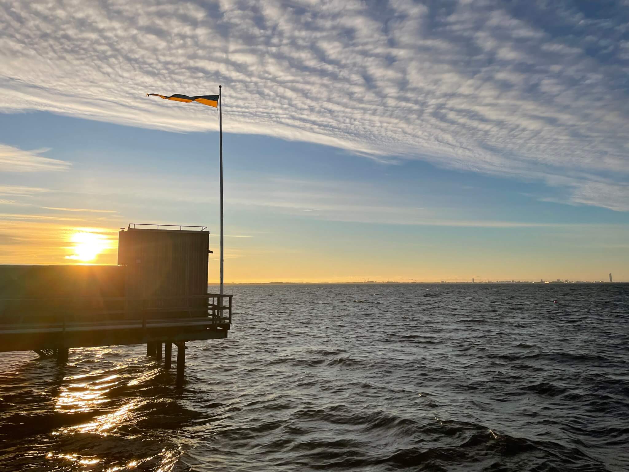
Irregular wave ripples, and some left on the beach when the water is gone
I’m getting more and more fascinated with wave ripples. I kinda understand how they form, but not enough to be able to explain as much about them as I would like to.
For example below: Why is the pattern so different where sand has been washed on top of the shallow stones? Yes, the water depth is different there, which will have an influence on the wave field, which will, in turn, have an influence on sediment transport. But HOW?
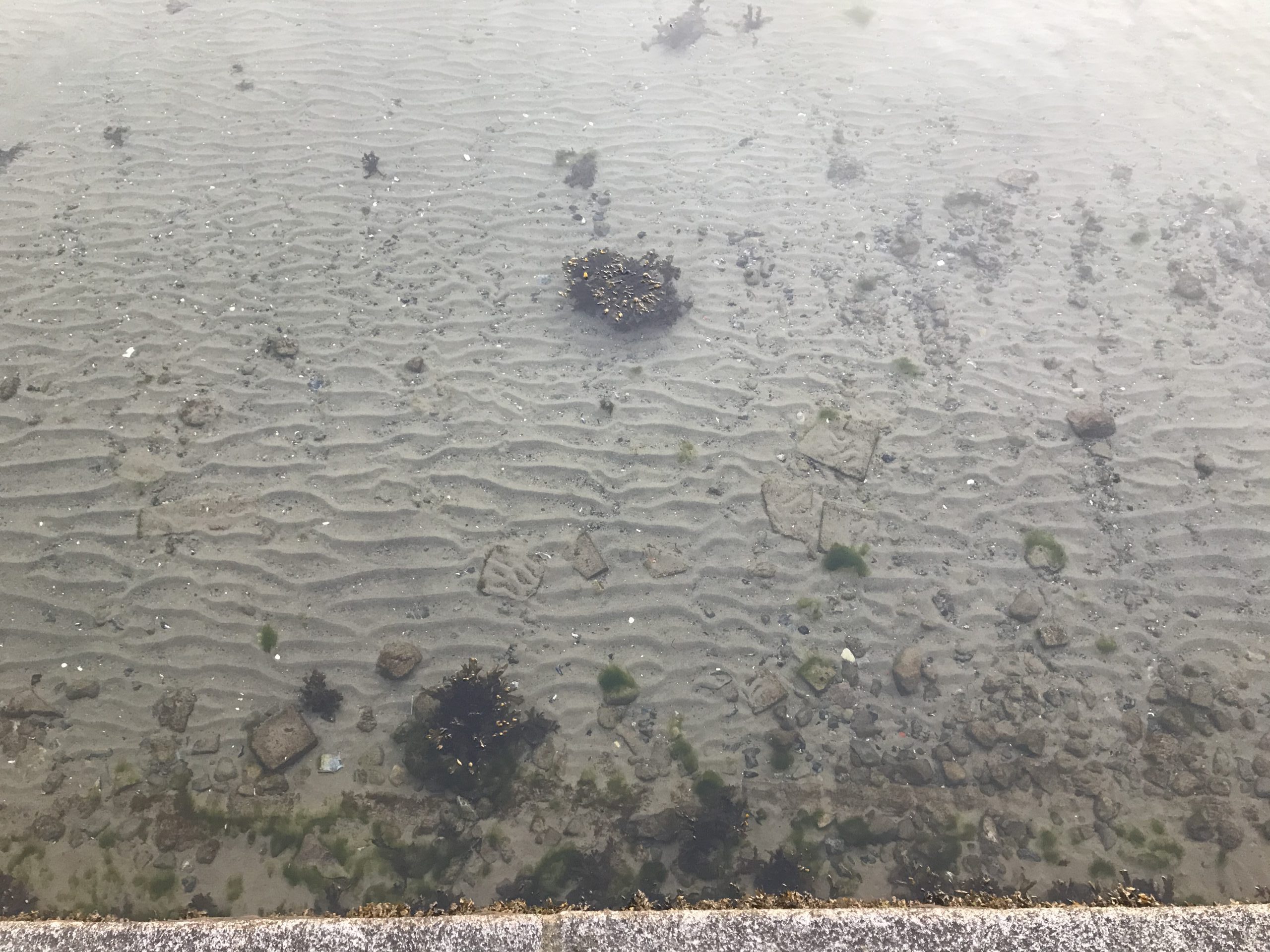
Here is another example. The wave ripples look choppy everywhere (and kinda cool!), but on that shallow, flat surface of the stone the wave length is completely different as is the orientation. And this is still all submerged, you can kinda estimate the water depth from the tips of the kelp stuff just reaching the surface.
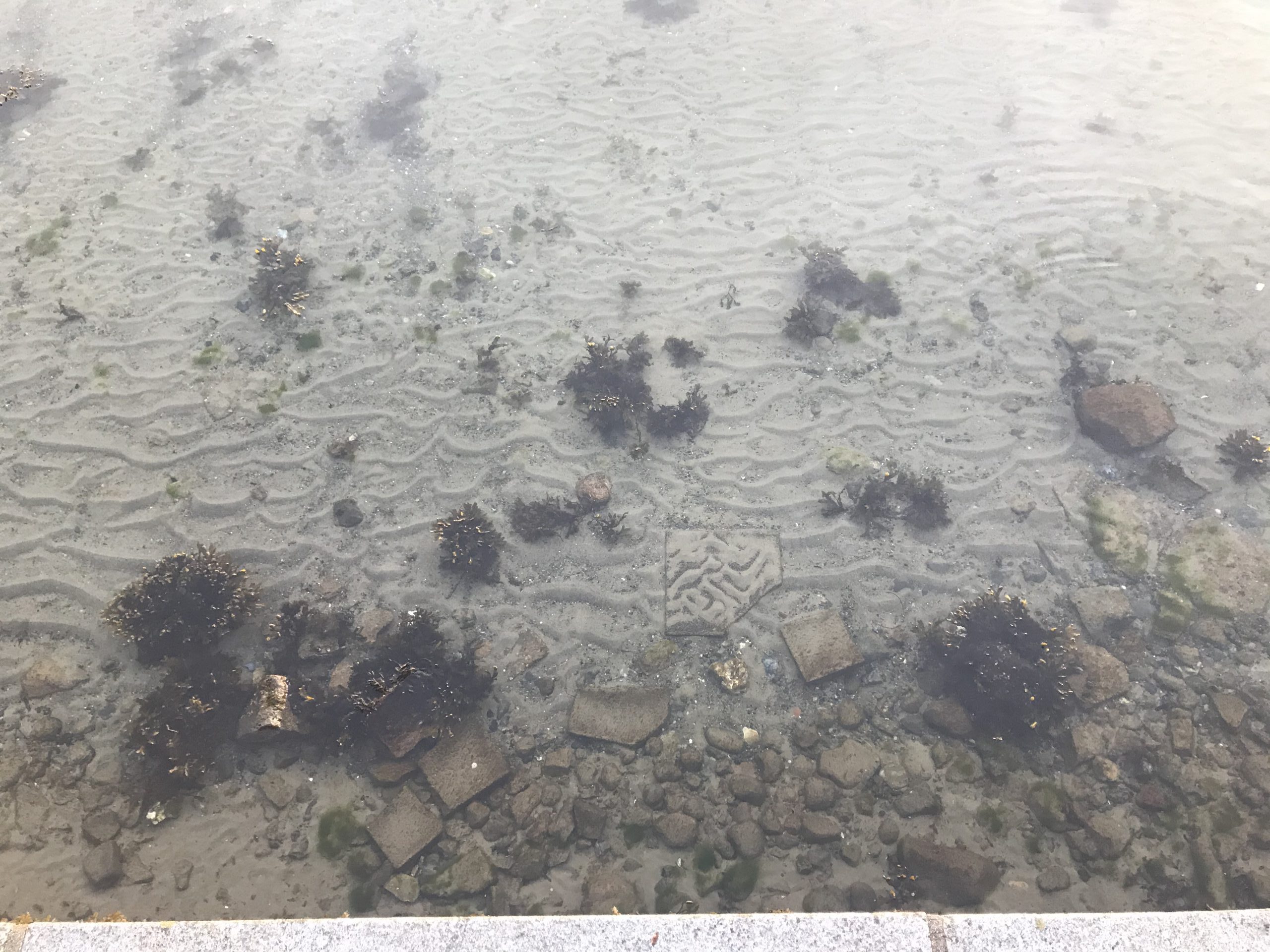
Same day, slightly different area. Isn’t it cool to see how in the upper left there are no wave ripples but those streaks of larger pebbles?
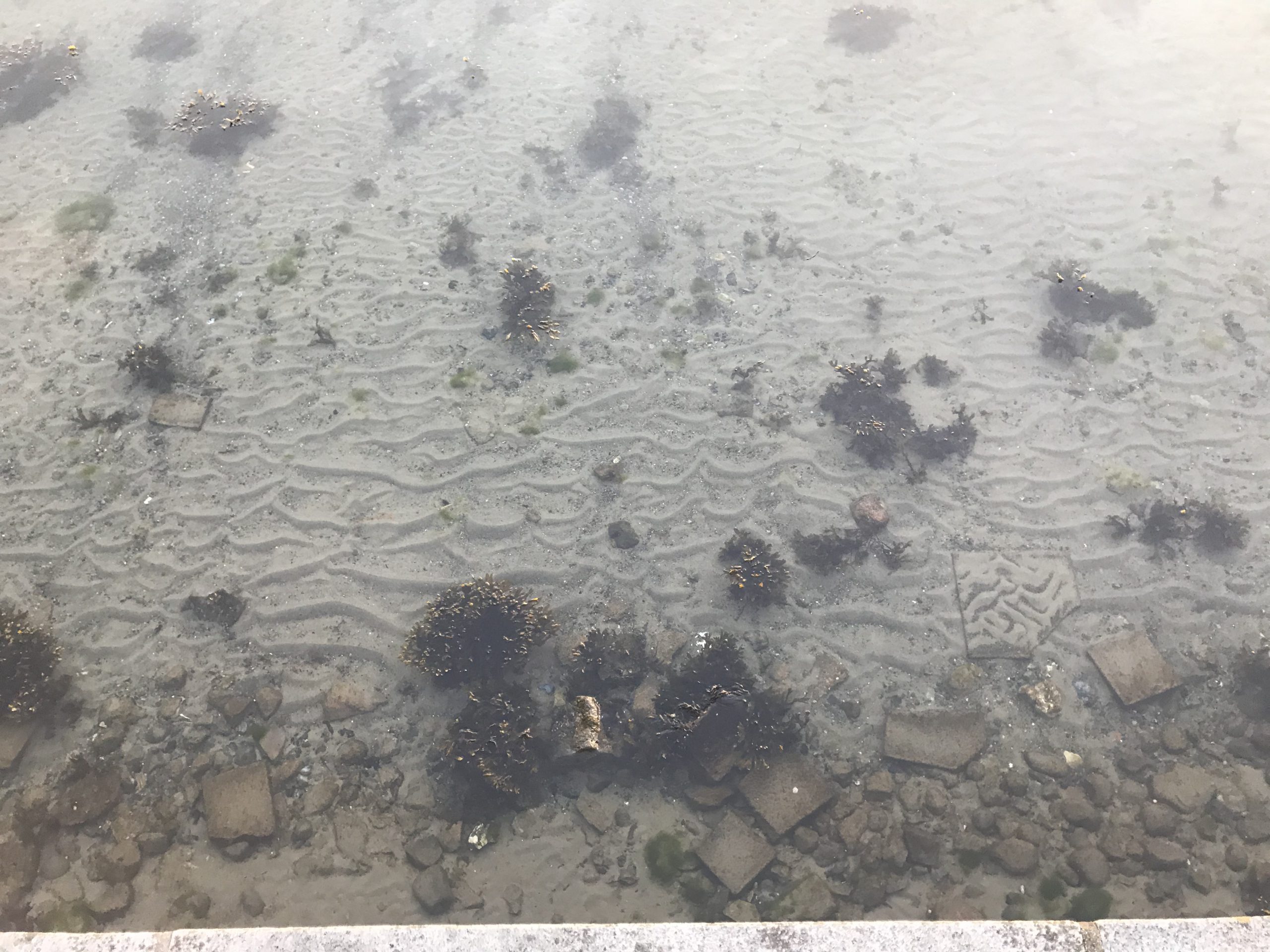
And look at this. Utter chaos in the middle, little more orderly ripples to the sides! Why???
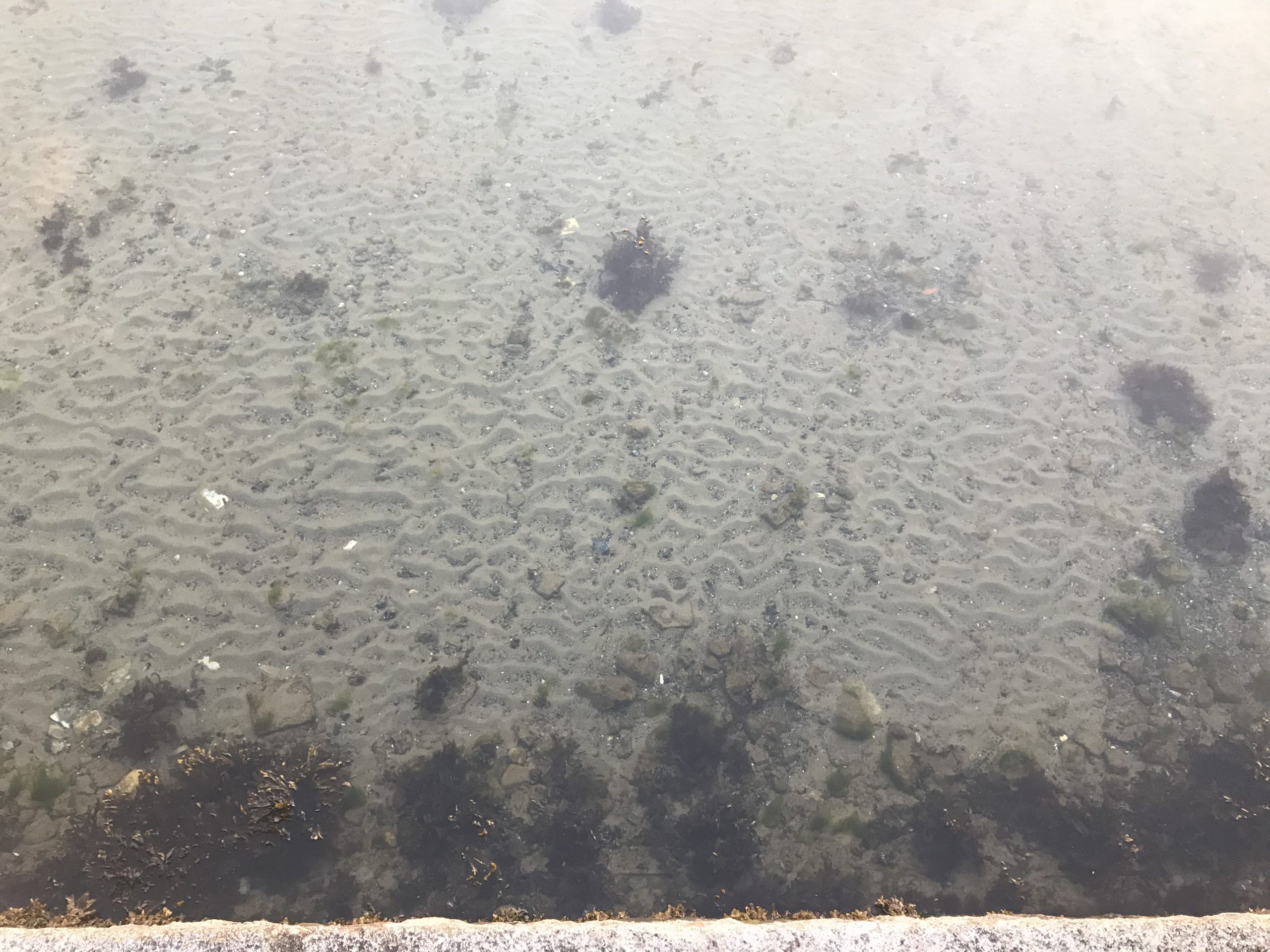
Or here. Steep wave ripple crests, long and shallow troughs in which larger stuff has been deposited (or is it the finer grain that has been transported away from the troughts into the crests and the coarser stuff got washed free and just stayed?). Estimates of water depth with help of kelp tips just breaking the water surface again…
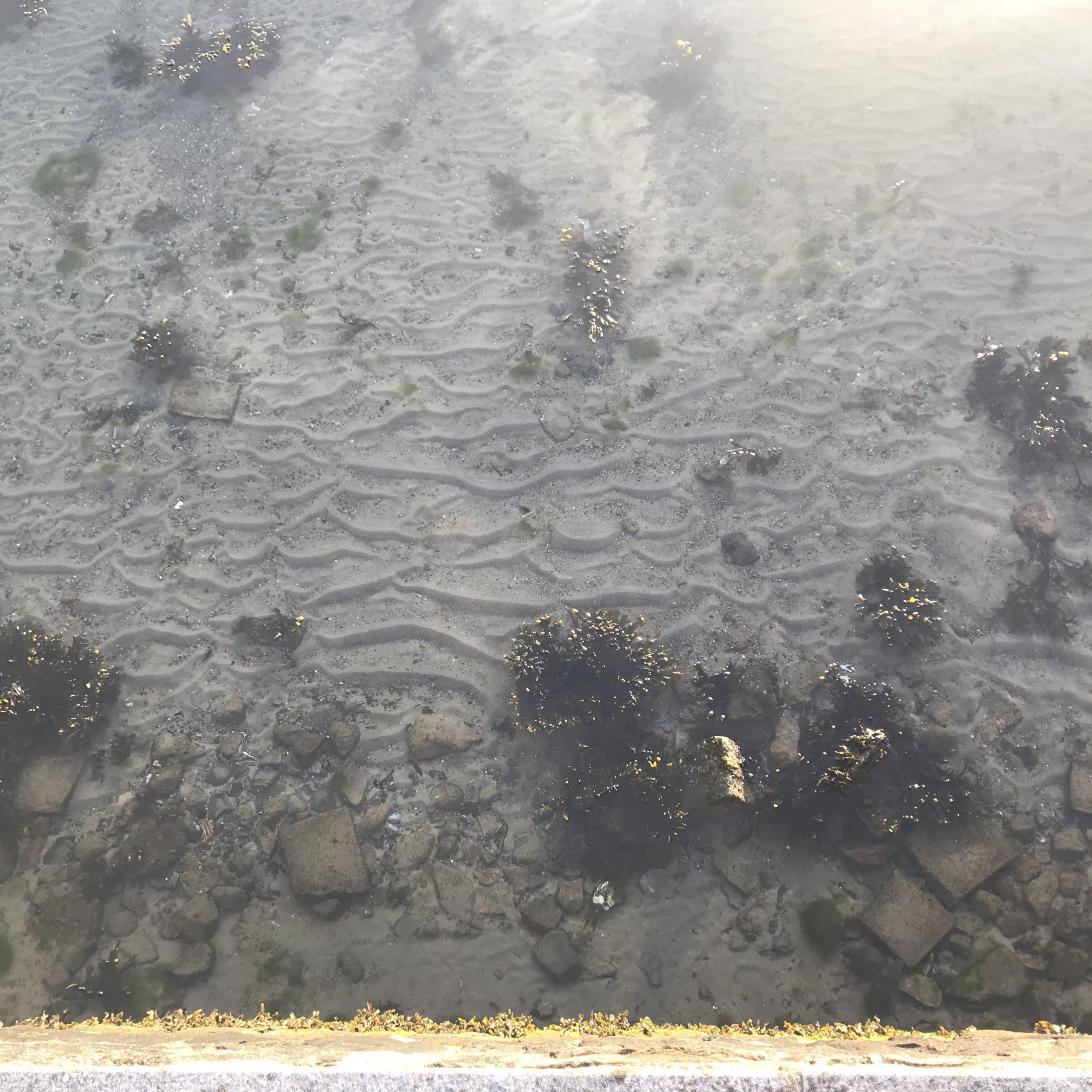
Different day, more orderly wave ripples. But wavelength changes with distance from the sea wall. And weird things happen on the shallow stones…
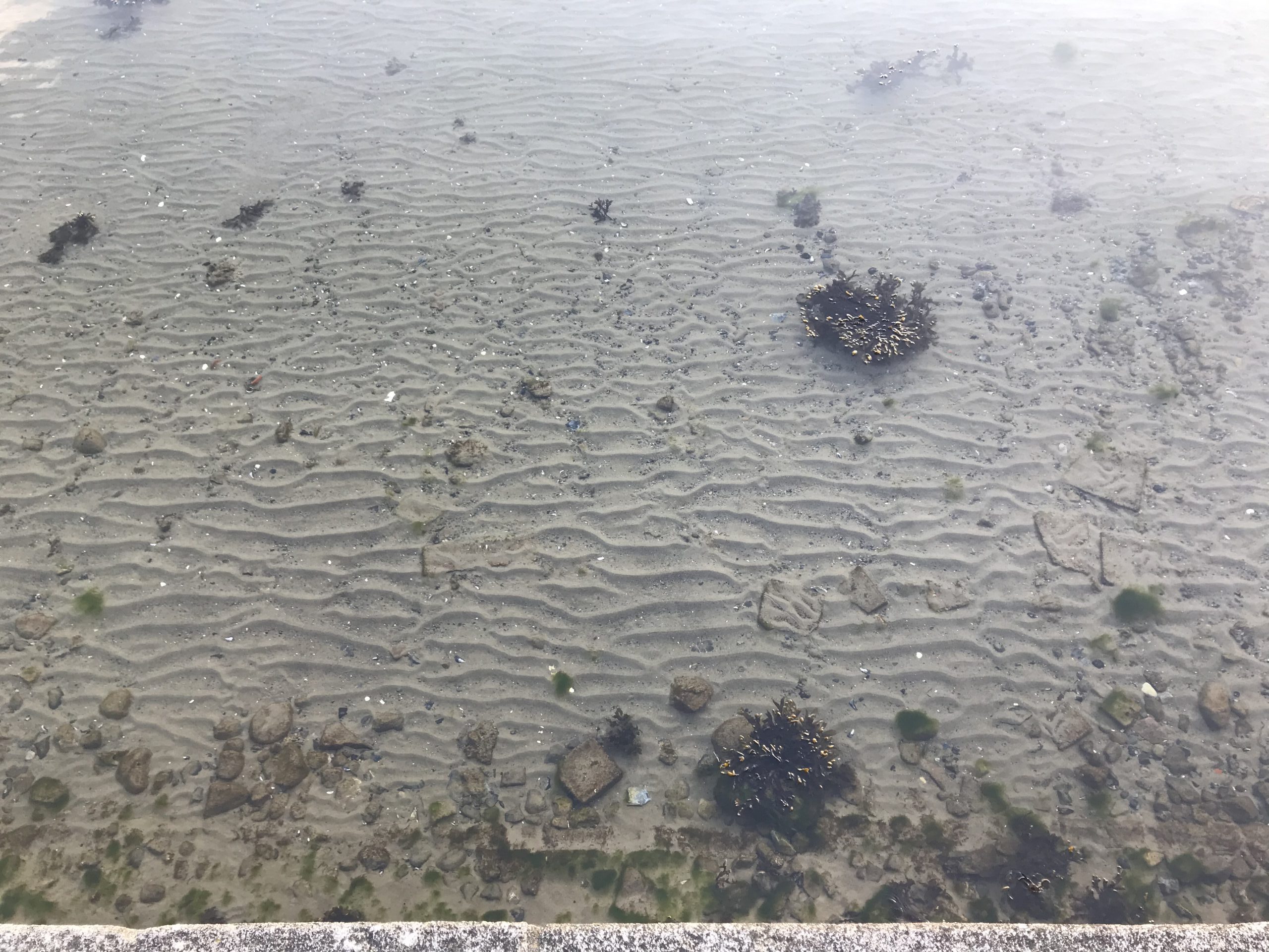
On a low water day, parts of the sea floor got exposed. Now. I know for sure there were ripples all the way to the seawall. But at some point, the water retreated. When did they get smoothed out? The problem is that I can only really observe the seafloor when the water is calm, yet ripple marks form when there are waves. What happens during the transitional period? Or here, when the water level sinks?
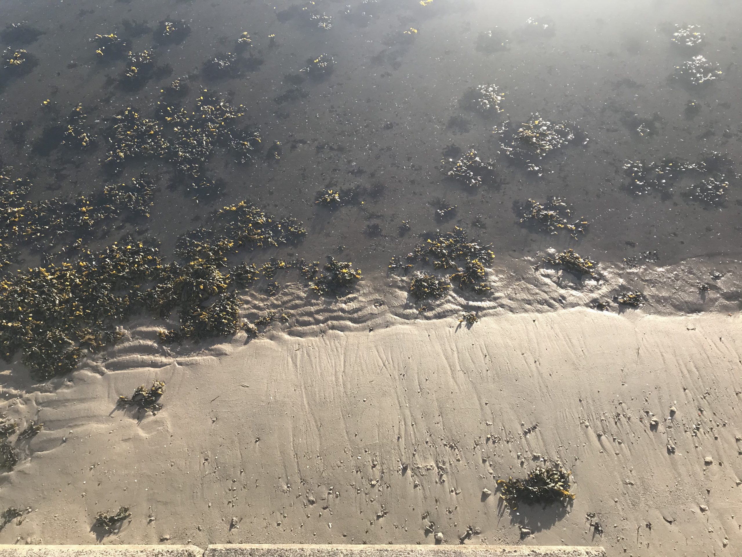
Another interesting pics with some ripple marks that are still there, and then these little, smooth spots that recently fell dry (within maybe 15 minutes or so — I took pictures that same morning when there was still water on top and you could only see that there was a bump under the surface by “reading the wave field”. And then when I came back, the water level had fallen and this piece of mud had been exposed). Did the ripples there get smoothed out when there was still water on top, or at what point did it happen?
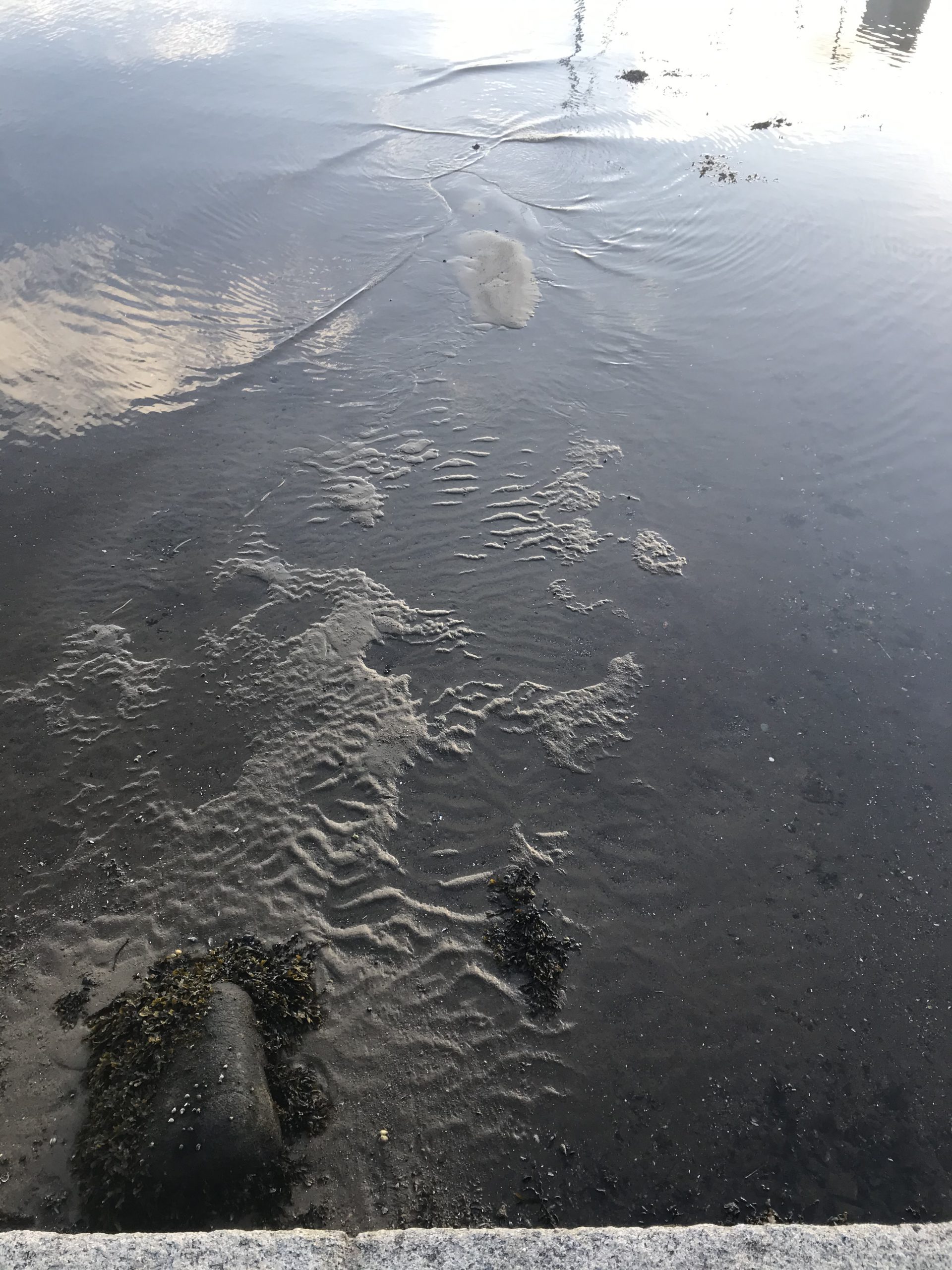
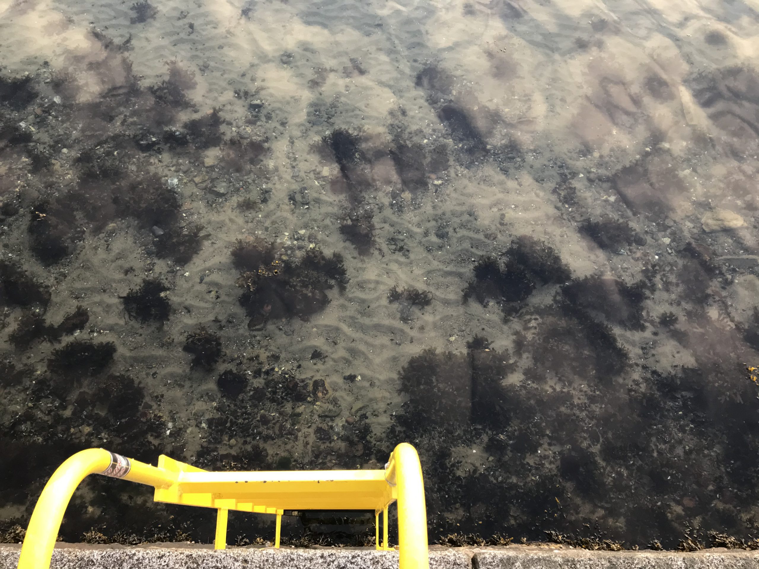
Or here where we have these interesting rip-current like structures right at the bottom of the sea wall:
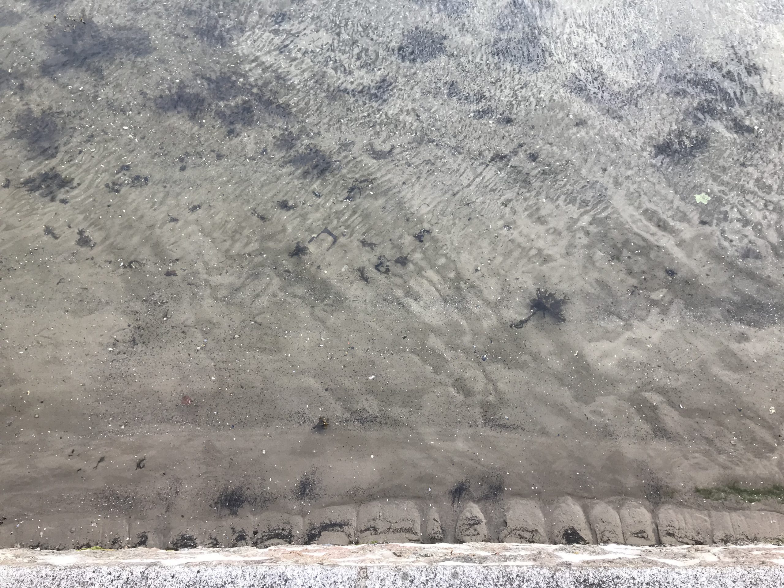
Here is another thing I find fascinating: Ripples towards the sea wall, and then these streaks of larger stuff probably aligned with the main direction of the waves (I think the larger stuff is less dense than the sand, though, maybe pieces of broken shells?). What has to happen in order to transition between these two regimes?
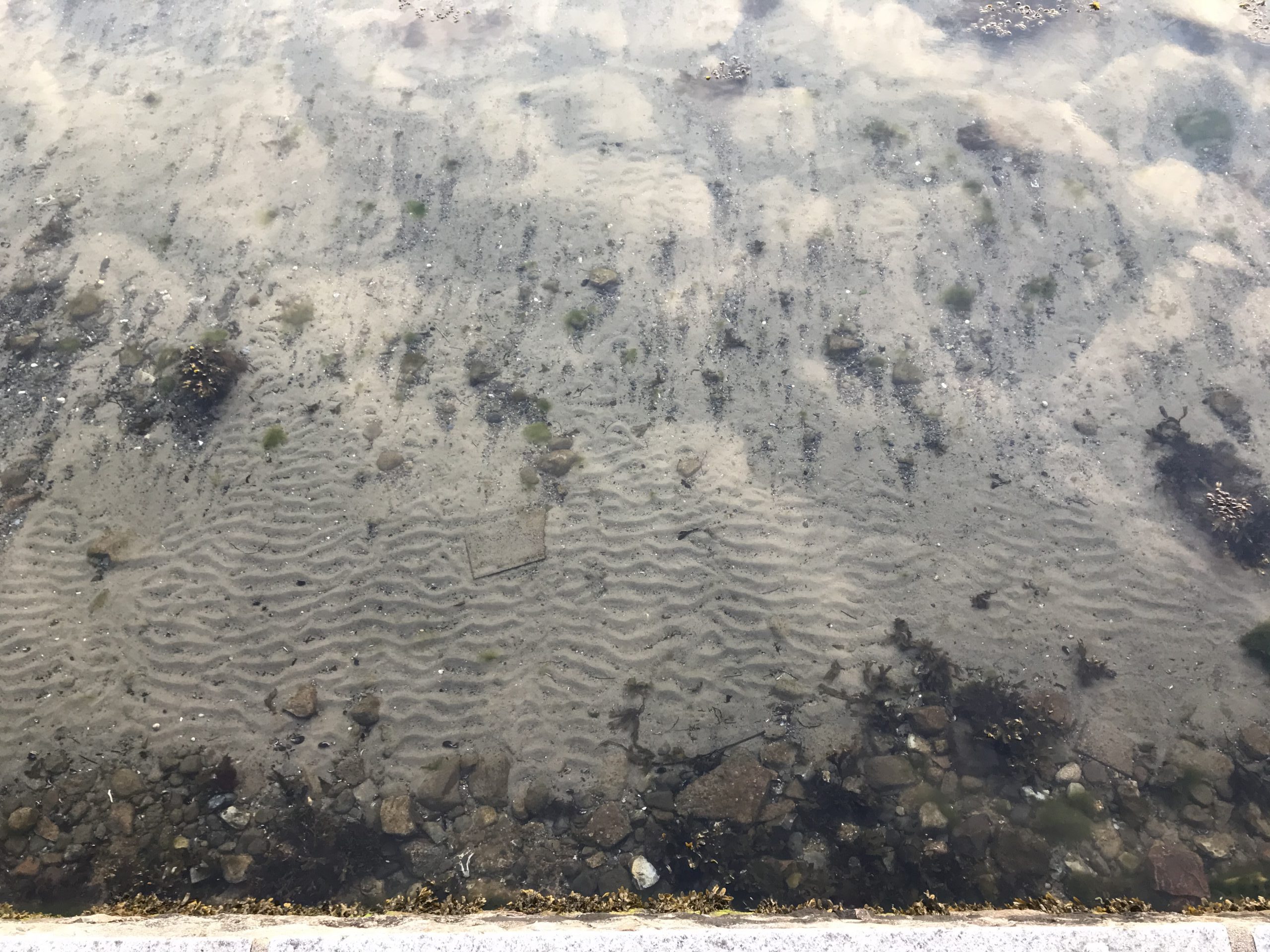
Also note how there is no sand on the large flat stones today!
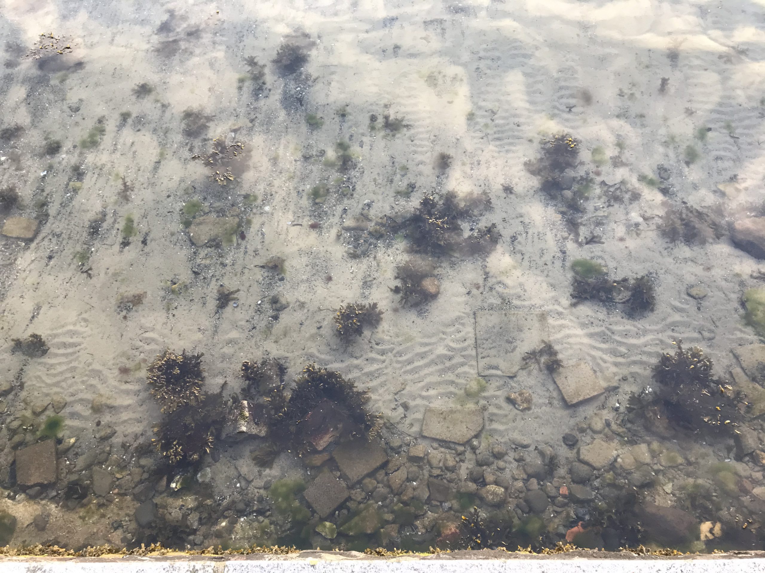
And same spot, different day: More ripples gone, and even less sand on the large flat stones!
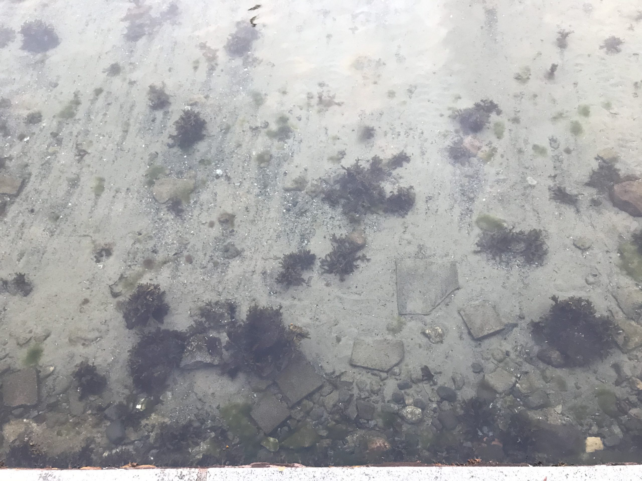
So how do I figure out what is really going on here? I guess I would need to capture both the wave field and the sea floor over time. Web cams above & below water level, plus measure water depth? Any suggestions?
reyhan says:
thanks a lot of information