
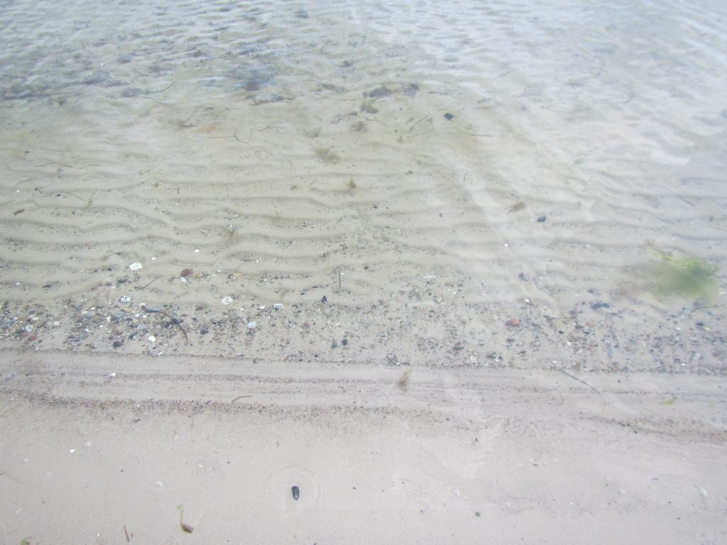
Last week, we ran an “expedition learning” course for 17-year olds. They were separated into several groups, working on different topics, and mine (unsurprisingly) worked on waves. You can see here what kind of stuff we observed when first testing the stretch of coastline we wanted to do our expedition to. And now you’ll get a picture dump of the actual expedition.
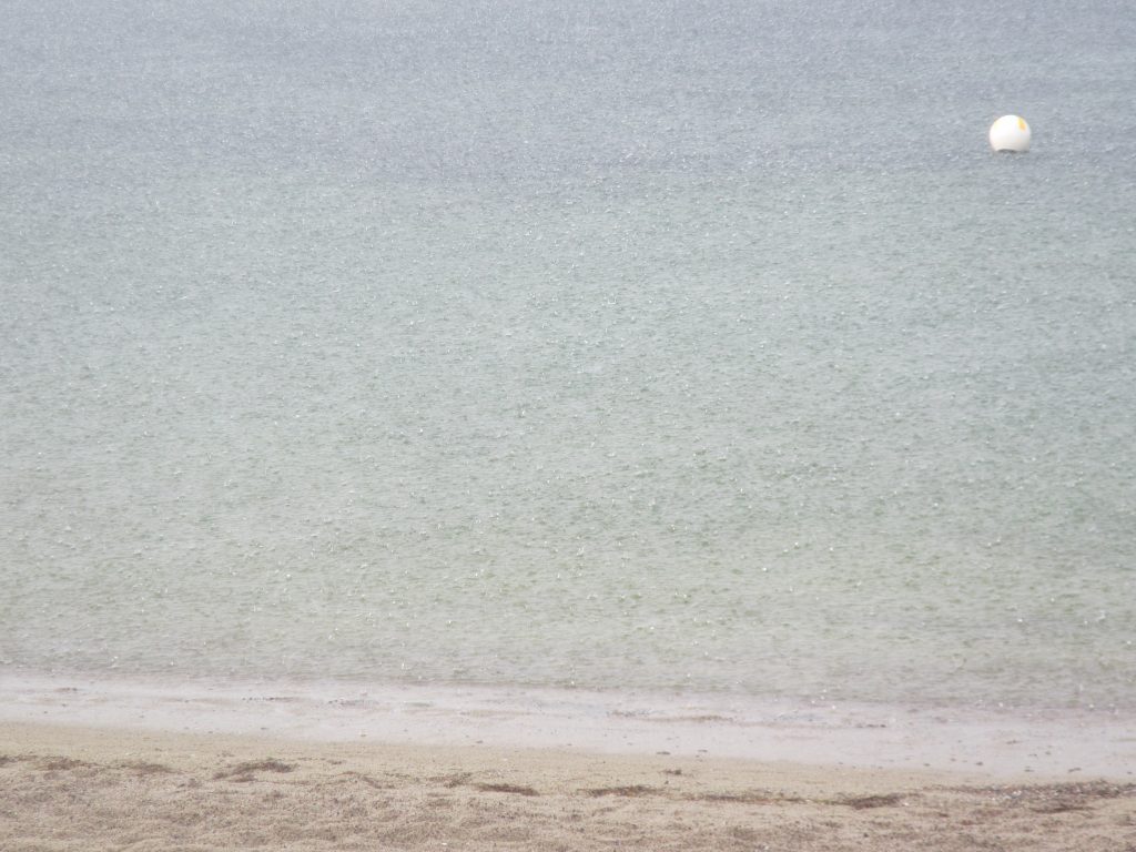
We started out in not-so-ideal-but-really-not-too-bad-either kind of weather, as you can read off the tracks below: It had been raining a little, but not very hard, and it had stopped by the time we got there.
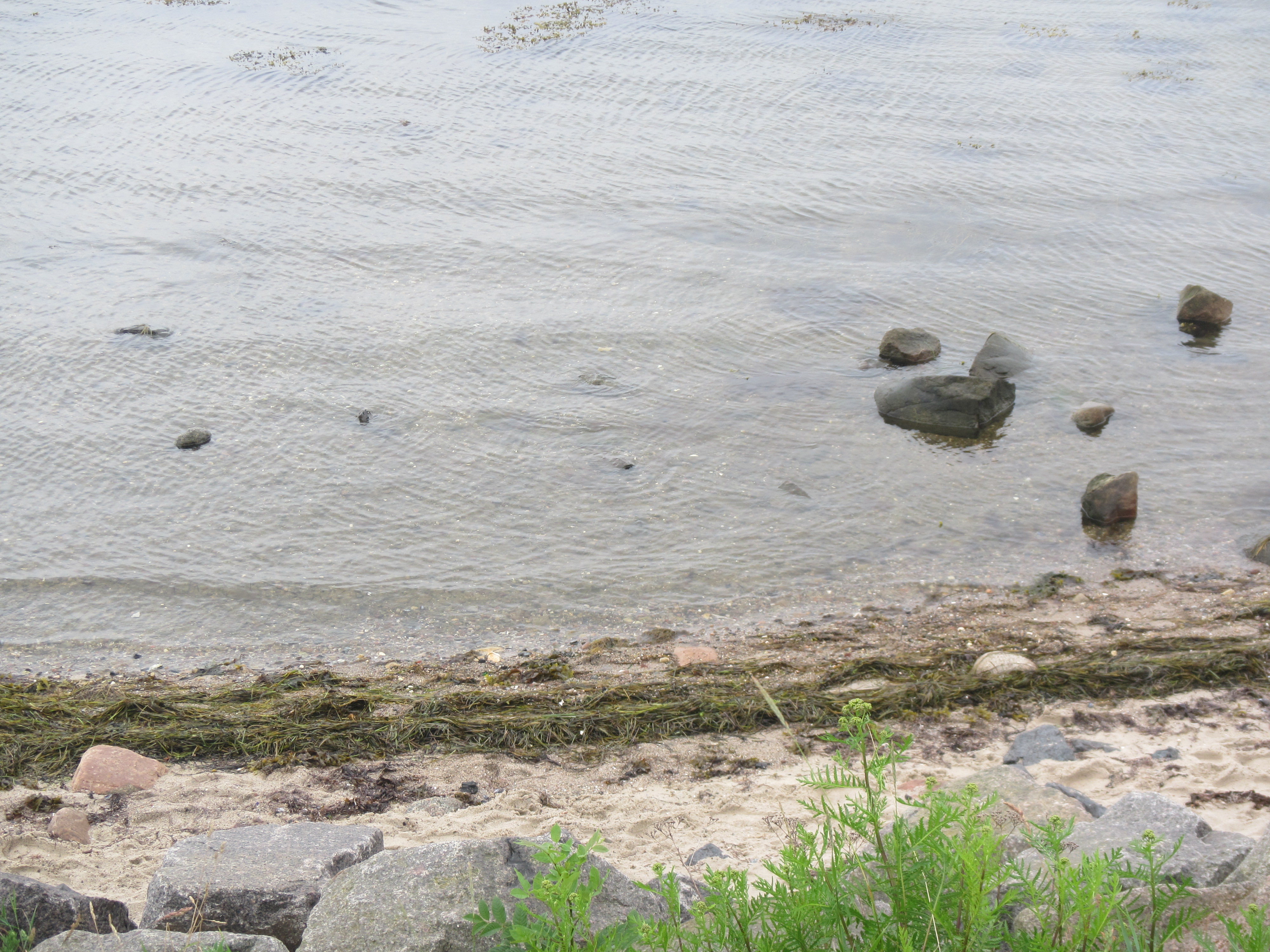
The drift lines looked quite promising.

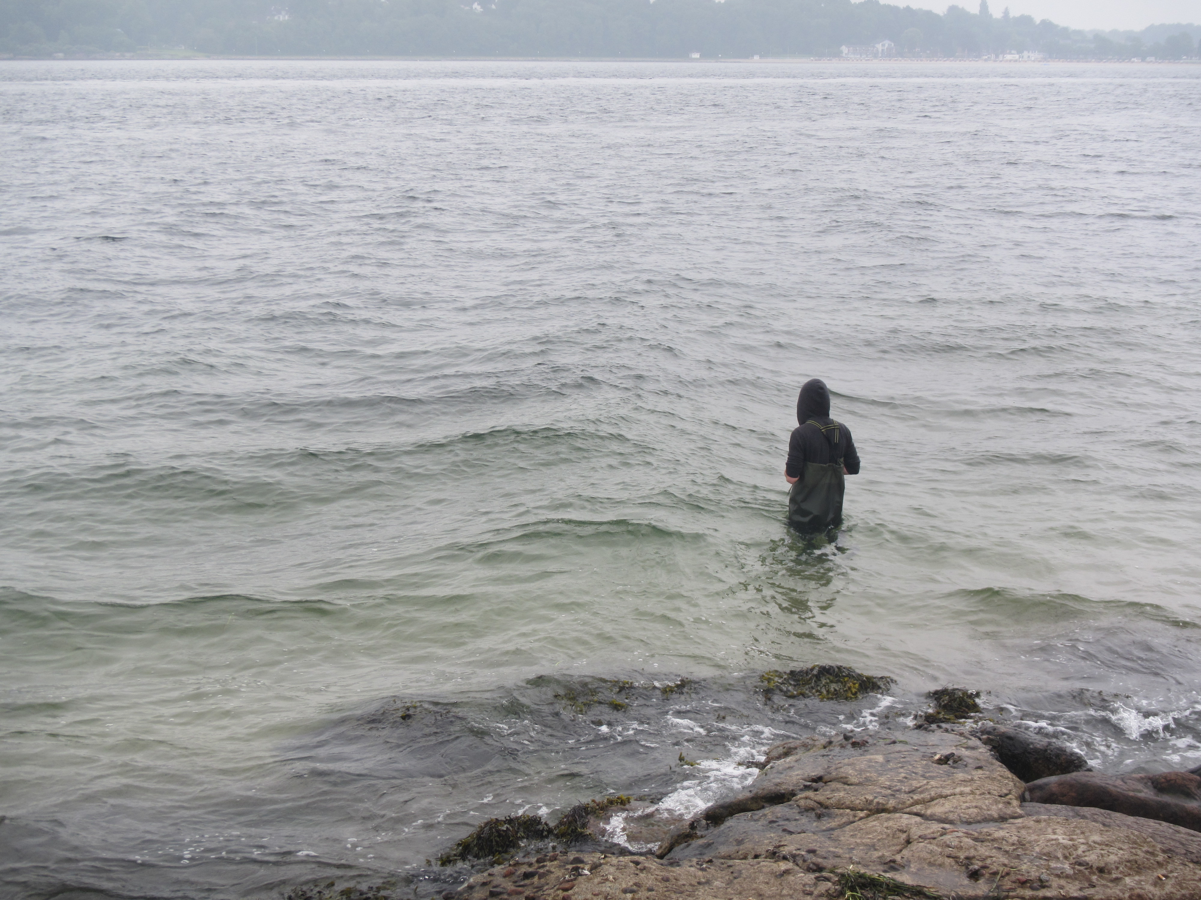
My group dove right into it (only figuratively, luckily, not literally). However I wasn’t quite sure if this guy knew what he was getting into?
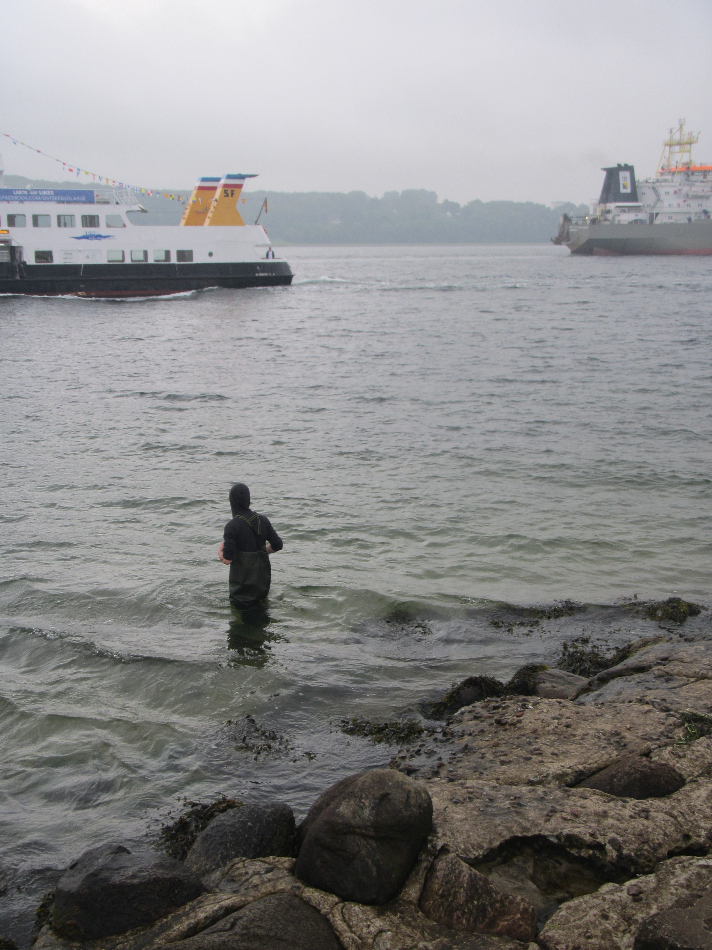
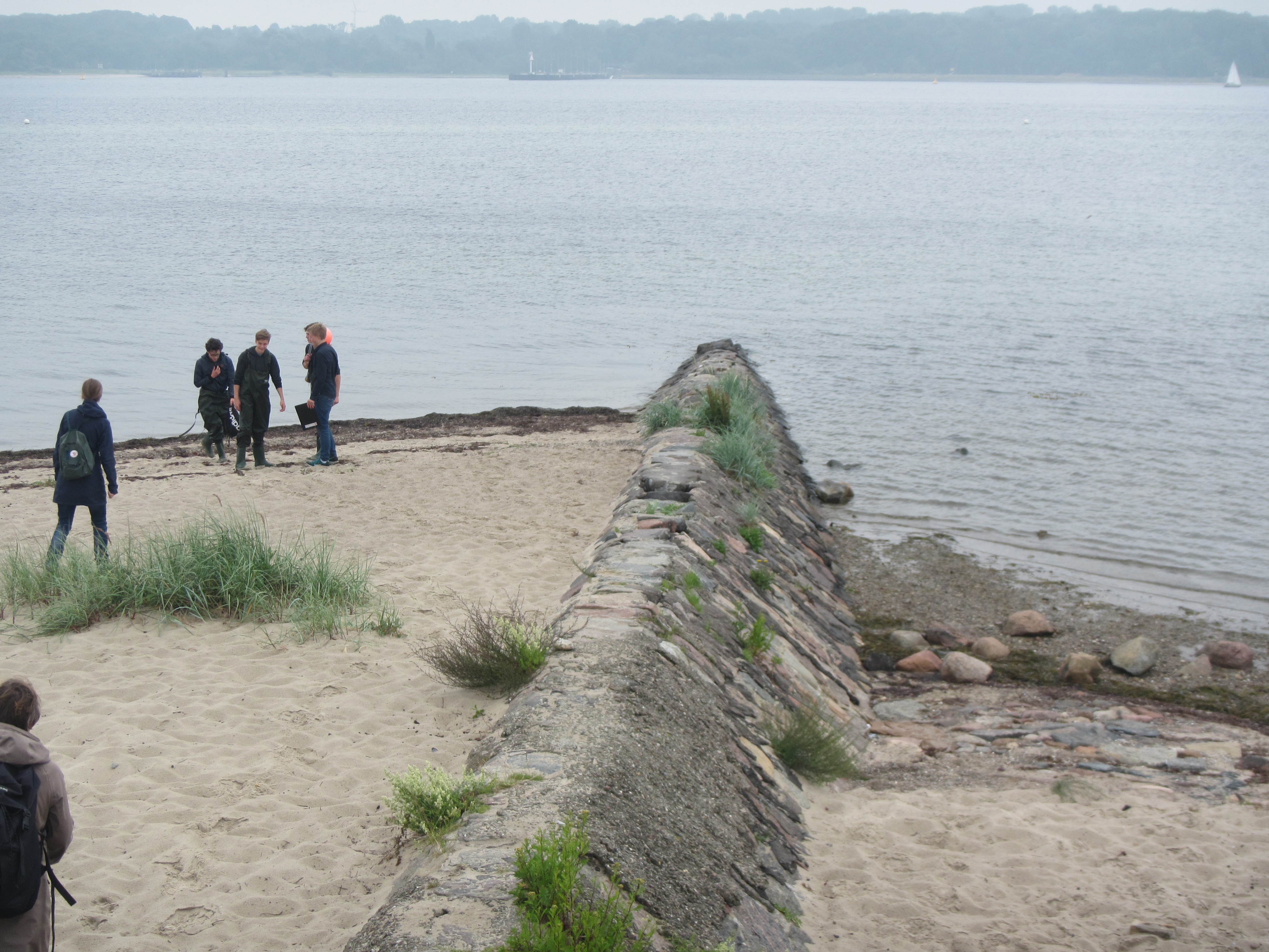
At this point we were still very close to the car, so I thought that it might be quite smart strategically to let them figure out here how high the waders go and what happens if the waves are higher than the waders… And the wakes of two ships meeting up at a headland are a very good place to learn about that kind of things!
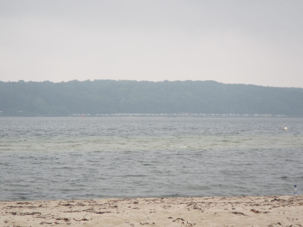
This headland is a very good place to start observing waves in any case. Especially at the typical wind direction found here. Because then, looking back from the light house to the land, you see a large area that is sheltered where waves only build up gradually. Which is a very nice contrast to the waves arriving upwind and makes it very easy to observe differences.
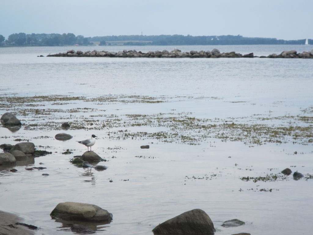
And then if you look downwind from the headland, you see waves sneaking around the headland from both sides. Those coming from the right are from the fully developed wave field that has been growing all the way down Kiel fjord, and then those coming in from the left are the ones that only started growing downwind of the little barrier shown in the picture above.

Can you see it? Maybe easier on a panorama kind of picture?

Of course we always like to look at the ring waves that appear when other waves hit stones…
I didn’t foresee that wave watching would happen mostly from within the water, but the guys in my group made a good case for walking on the sand bank to actually measure the wave hight depending on the water depth (rather than just observing and estimating from dry land, as I would have done), but why not?

Luckily, they found the shallowest part of the sand bank in exactly the same spot I would have told them to look for it based on the wave field ;-)
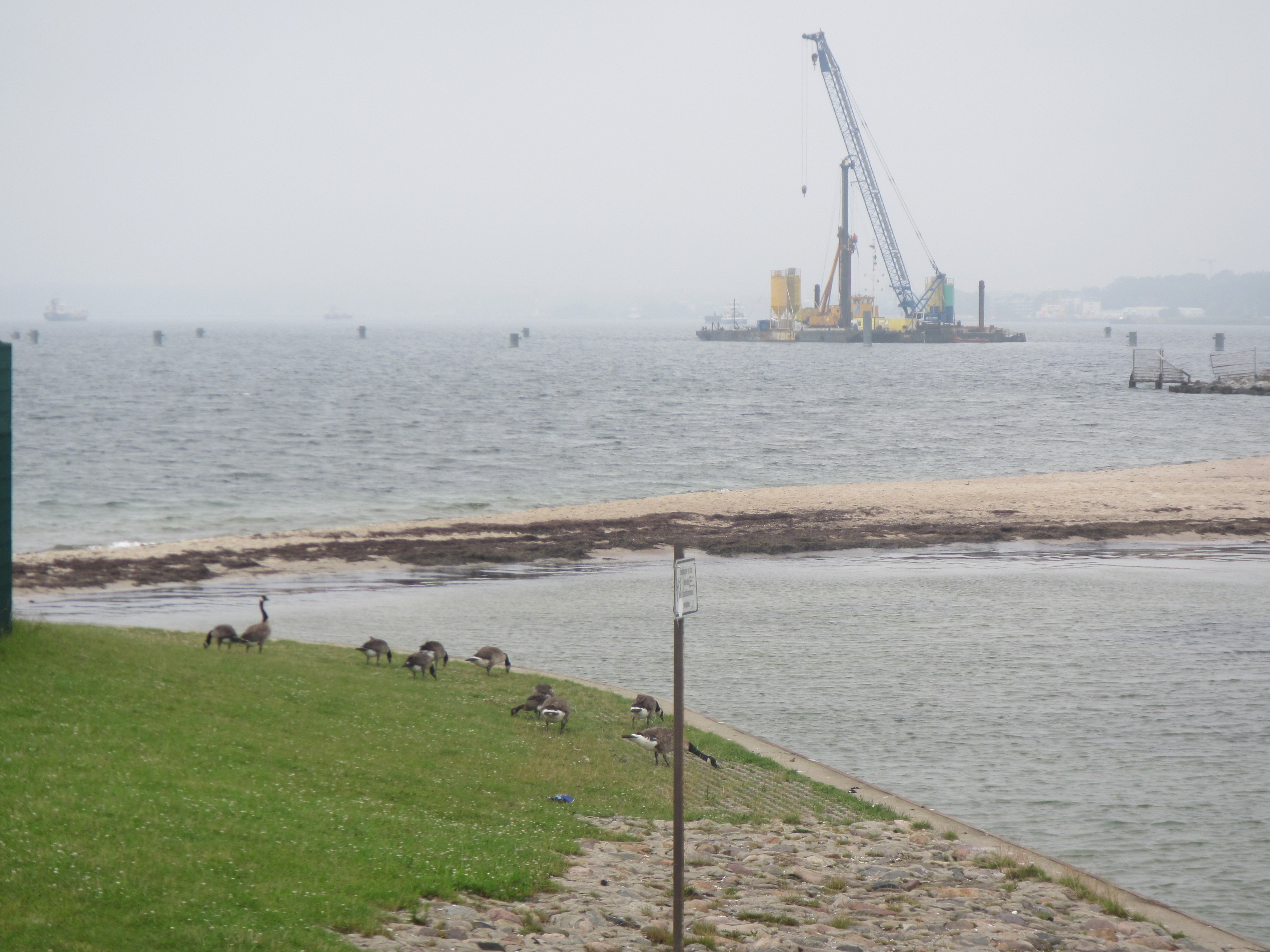
Btw, a nice example of coastal dynamics right below. We had a coastal dynamics group, too, but I don’t even know if they looked at this kind of stuff, I mainly saw them taking soil samples.
And I know I made the same observation in the same spot last time, too, but I think it’s fascinating how the different directions of the ripples and drift lines and waves all come together.
In any case, a nice day at the beach!
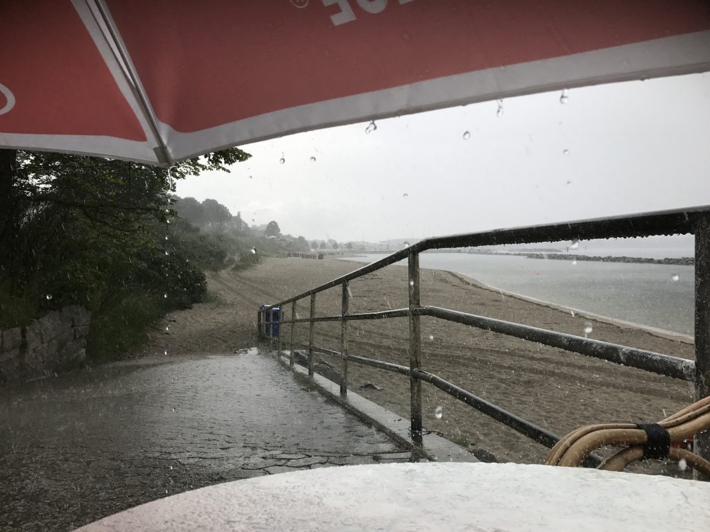
Well, most of the time anyway.
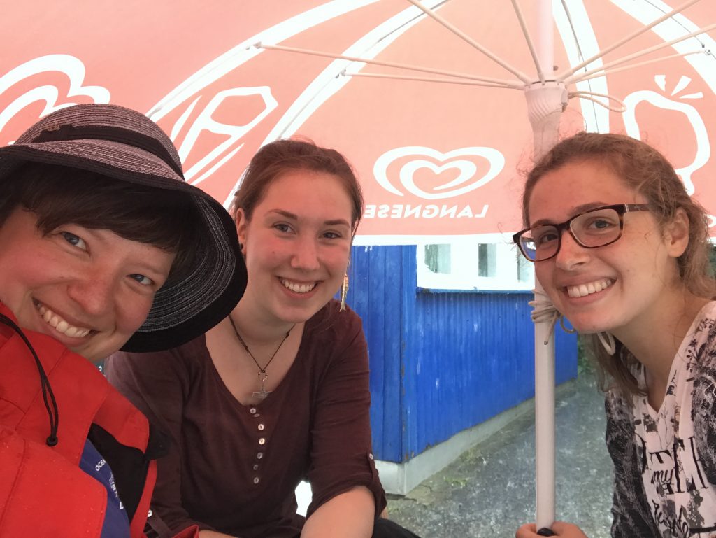
Luckily, we found shelter!
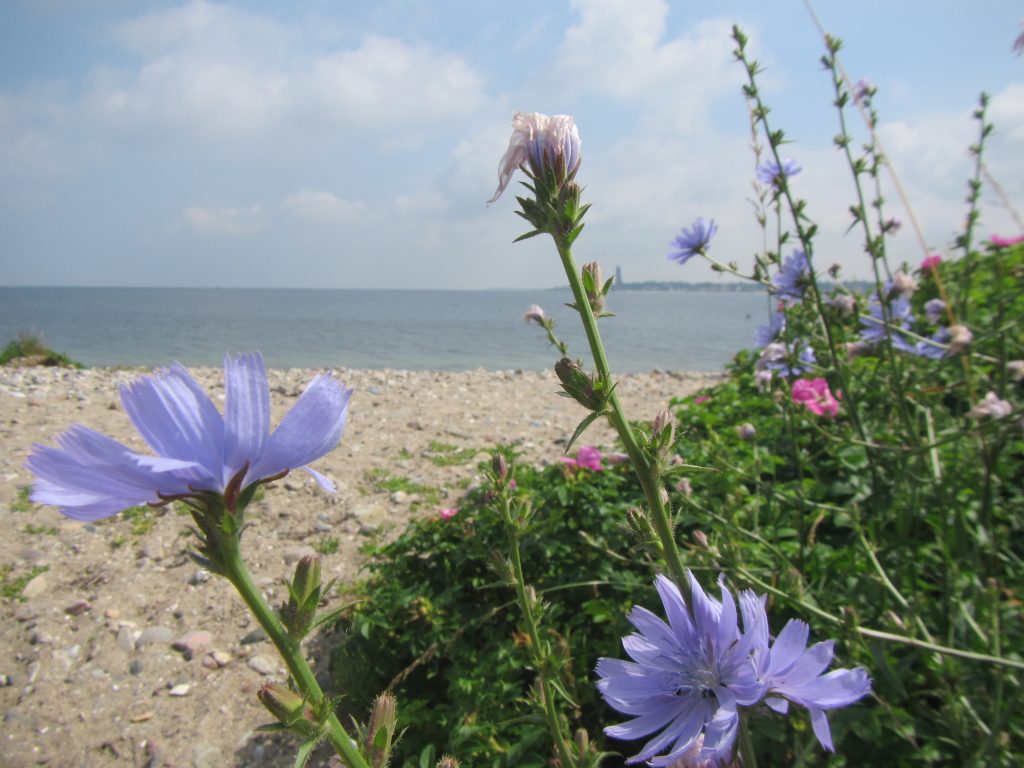
Those, btw, are Annika and Jeannine, who were working with a different group on coastal vegetation.
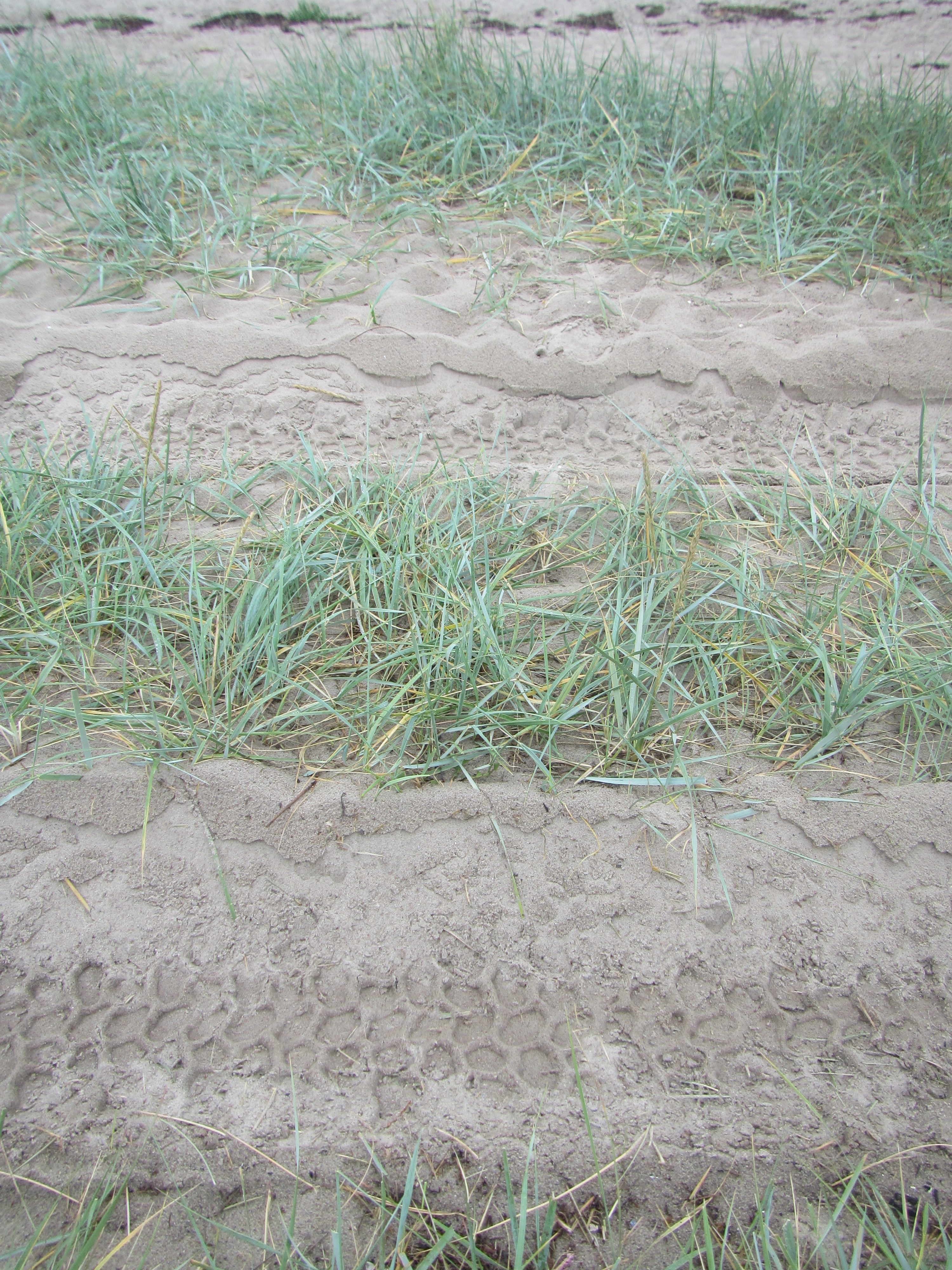
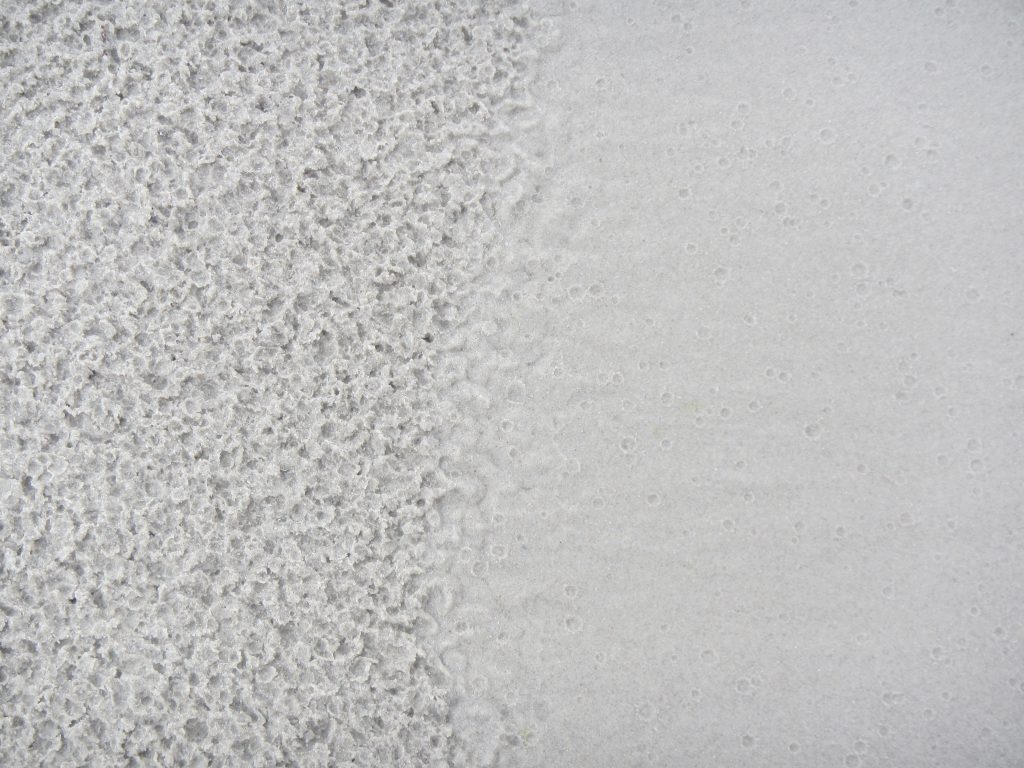
But: New and interesting pattern on the beach once the rain was done!
The kids spent the next two days putting all their observations on maps and preparing a presentation, and I am really happy with how it turned out. Of course there is some room for improvement still, but how boring would it be if there wasn’t? ;-) All in all I think it was a pretty successful course!
Pingback: Discovering Google Earth Engine | Mirjam S. Glessmer