#wavewatching in the sky
On Elin’s student cruise (read more about that here) very nice wave watching was to be had, both on the water as well as in the sky.
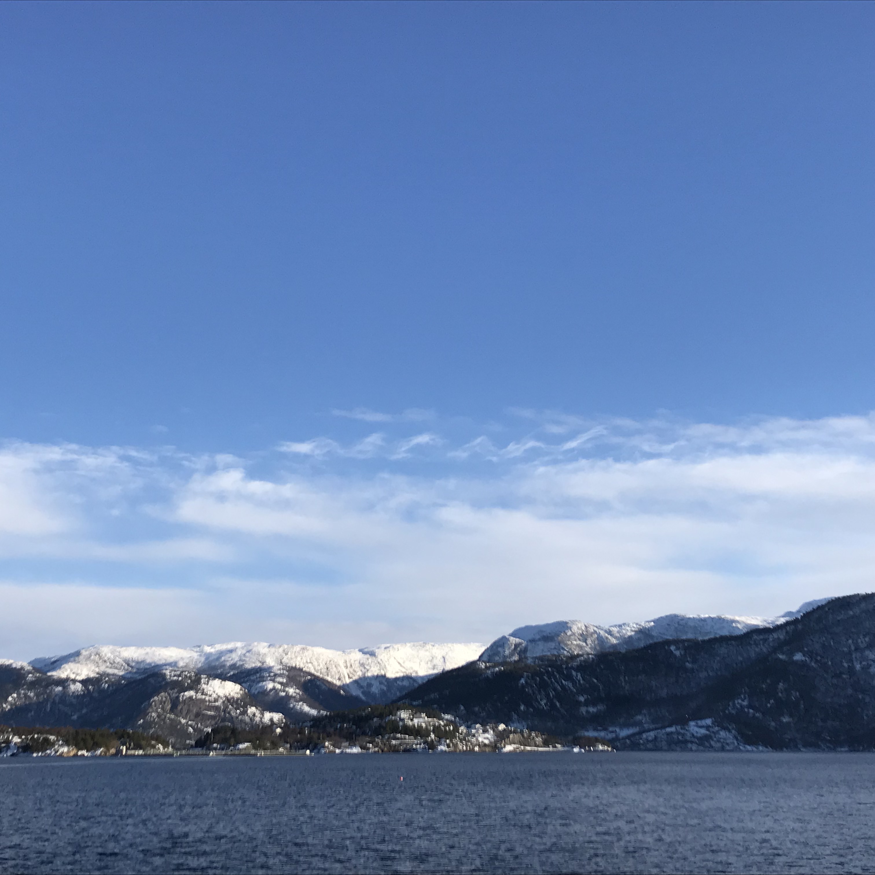
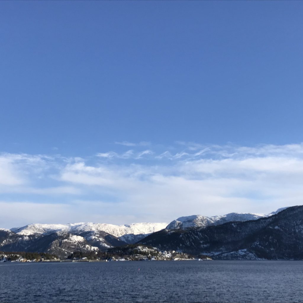
In the picture below, if you look slightly left of the mountain top in the right of the picture, you see five parallel cloud stripes — evidence of the air moving in a wave motion after going over that mountain top! This motion results in clouds being there for certain phases of the waves and then no clouds for others, and since the movement is periodic, this results in cloud stripes. Now if I knew more about cloud formation I could probably tell you what changes with height except for pressure, and how that results in cloud formation or no cloud formation, and hence whether the cloud stripes indicate wave crests or wave troughs. My gut says troughs. Does anyone know?

Another very nice wave pattern is seen below: Kelvin-Helmholz instabilities! Those are shear instabilities that will eventually start breaking. Unfortunately I went back to work and next time I looked I didn’t find them again.

Joe Buchanan says:
I would have guessed that the clouds are at the peaks – when the air moves upward into low pressure/colder zones so the water vapour condenses to form clouds. But I’m not a meterologist so I’d love to know which is right!
Where I live (Paekakariki in New Zealand) there is a popular hang gliding site. A friend who is a hanglider pilot told me that wind waves are part of the attraction. The South Island is about 50 kilometres away, across Cook Strait – the seaway between the North and South Islands of New Zealand. As the wind blows over a high point in the South Island a wave is formed, that bounces up and down across the sea until it reaches the North Island, getting larger with each bounce. If the period is right the hangliders can get lift from the upward face of the wave, apparently much greater lift than from the usual convection currents or wind lifting over topographic features.
Mirjam says:
Over on Twitter there was some discussion on this and it turns out that there are arguments for either. We’d have to know more about temperature and humidity profiles to determine which one it is. But it’s fascinating nevertheless! :-)
Did you see my post on roll waves and the hydraulic jump animations? Thought you might be interested in those