Tag Archives: research cruise

A touristy post about my trip to Heligoland

I recently went on a trip to Heligoland, Germany’s only island that is far away from the mainland (70 km in this case). It was a great trip, and I know you’ll be reading about it for some weeks to come :-)

Today, we’ll just do the touristy parts, though, and get into the oceanography later.

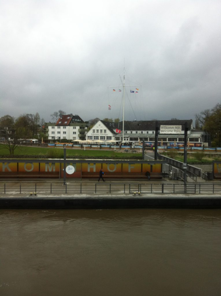
The trip started out super awesome. I went on a ferry and got the chance to see ships being greeted by Wilkomm Höft, the Ship Welcome Station, by dipping the Hamburg flag and playing the national anthem. I’ve seen this before, but only from land (this is a place that I love going to for birthdays, mine and other people’s). Sitting on a ship and being bid farewell this way is really touching! I loved it and got a little teary-eyed.
2016-04-27 09.41.47

Being bid farewell (by dipping the Hamburg flag and playing music) at Wilkomm Höft in Wedel on the Elbe river.

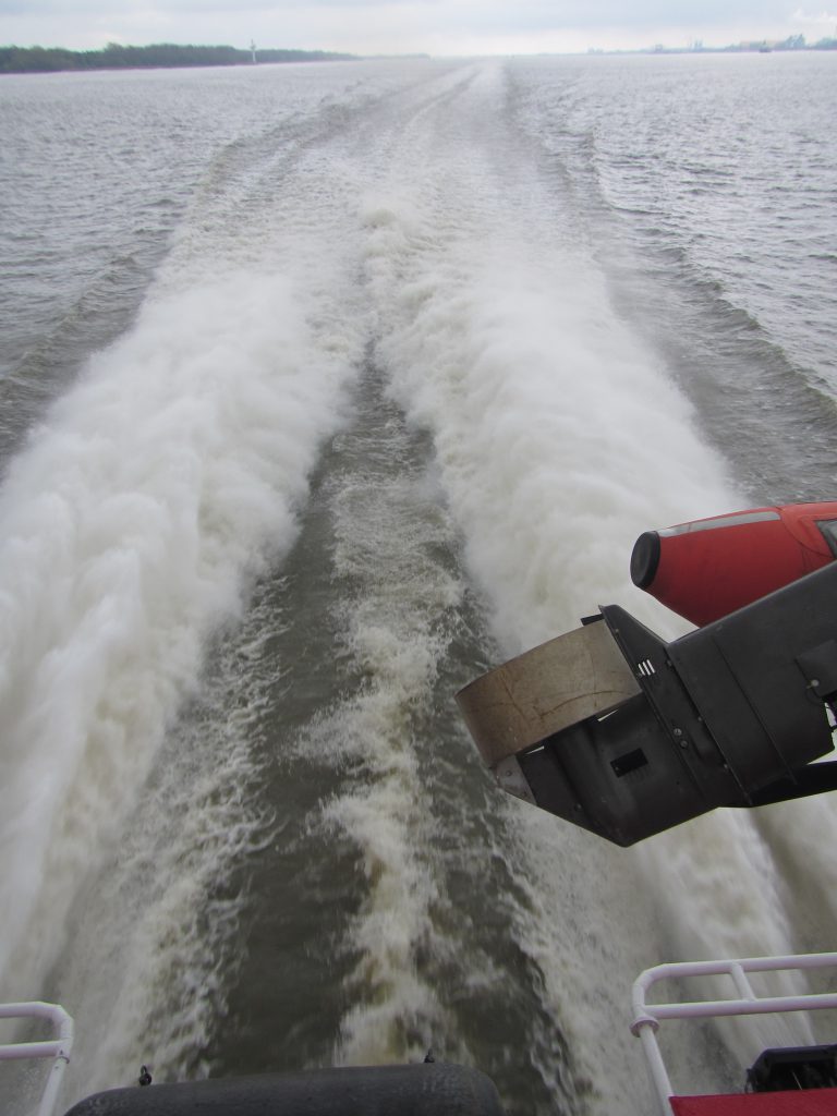
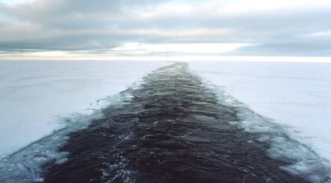
The ferry itself is a high speed catamaran, which, as you might have guessed, produces an amazing wake.

IMG_4439

Wake of the Halunder Jet, the high-speed ferry going from Hamburg to Heligoland.

Unfortunately, the ship is set up such that the rescue boats obscure the view of the wake a little. How inconsiderate ;-) Please ignore the outboard engine…

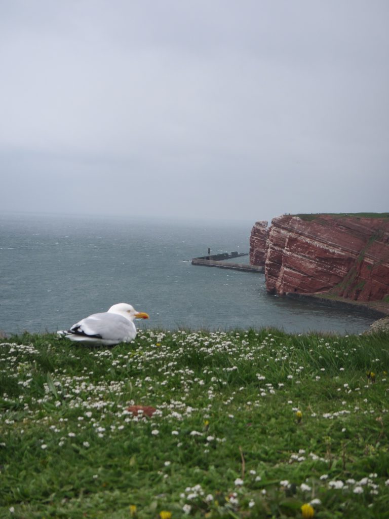
On Heligoland itself, there are the famous red cliffs, and tons of birds. Let me just show you a few:

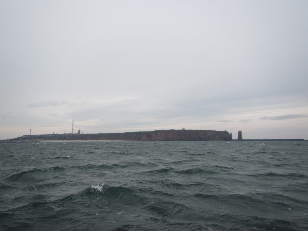
Heligoland

Heligoland

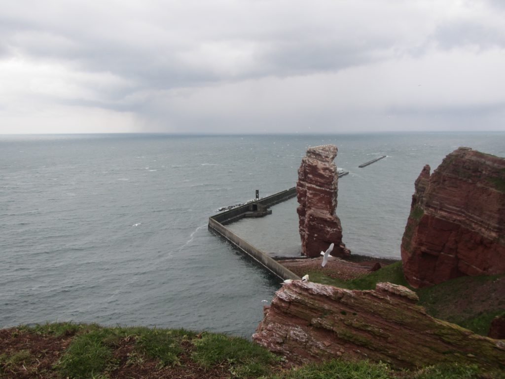
The best-known part of Heligoland is the Lange Anna — a red rock called “long Anna”. You see it on the picture below. What I liked most about it — besides the beauty of the rock and the birds, obviously — was the wave breaker build there to protect the coast, and what it did to the waves.

IMG_4509

“Lange Anna”, the famous red rock on Heligoland in the German Bight

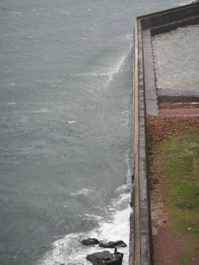
Zooming in on the wave breaker’s edge, there is clearly very strong winds coming around that corner:

IMG_4515

To be fair, it was a super windy day.

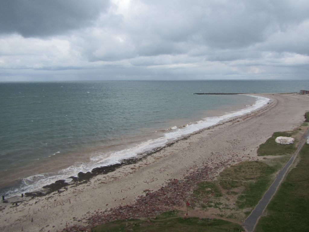
They also have a very nice beach on Heligoland, where you can see the bending of waves due to changes in topography that we talked about before.

IMG_4535

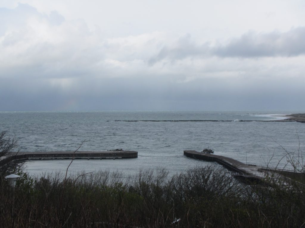
And if you look over to the second island, you can very nicely compare and contrast the upwind and downwind coasts of islands:

See how there are lots of breaking waves (well, you probably only see the foam) on the upwind coast of the island in the back of the image, and how there are absolutely no waves in the lee of the sea wall in the foreground of that picture?

IMG_4567

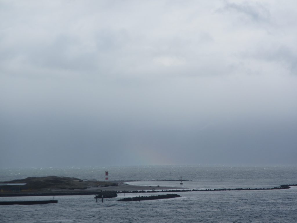
Btw, the downwind side of that same second island looks also a lot calmer as it is sheltered by the island itself:

IMG_4571

Unfortunately, I couldn’t take a picture of the whole island at once, I really need to upgrade my camera… But can you spot the rainbow above?

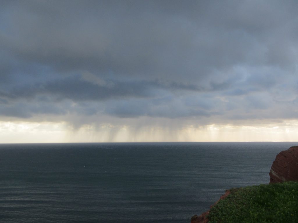
Also there is some more, pretty spectacular weather to be seen:

IMG_4585

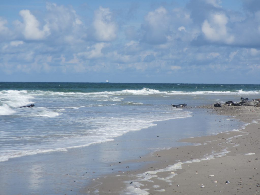
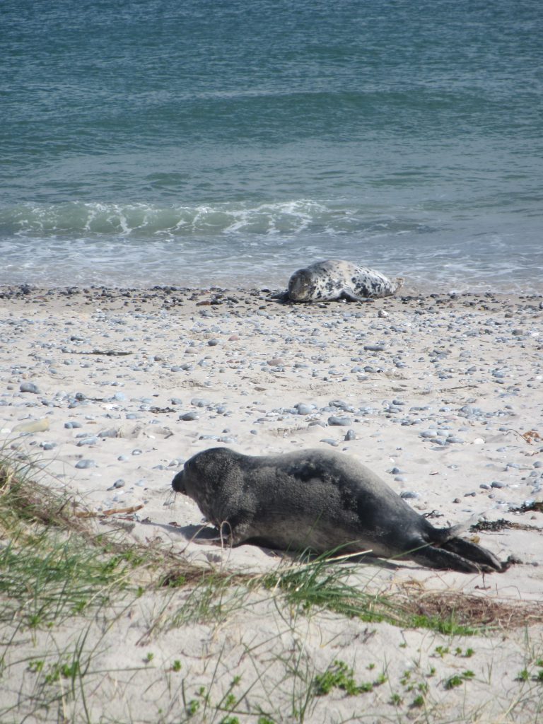
If you go over to the other island, there are TONS of seals. Like several hundred, right on the beach! Obviously, I only have pictures of seals when there are also nice waves happening at the same time :-)

IMG_4677

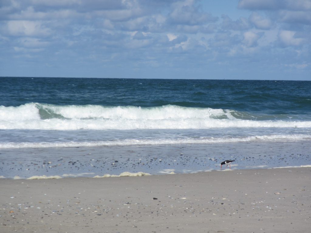
Oh, and birds.

IMG_4693

And more seals! This one is cute, I have to admit…

IMG_4703

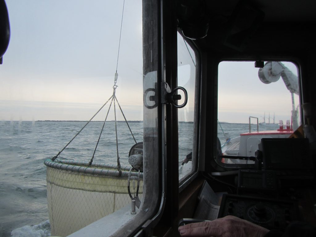
Oh, and I was lucky (lucky means bold enough to ask!) enough to hitch a ride on the local research vessel, Aade. Below, they just finish a plankton trawl. We weren’t allowed out on deck because the weather was so rough…

IMG_4735

What looks like a calm and serene morning really wasn’t one. It was super windy and wavy! Good thing I don’t get sea sick.

IMG_4745

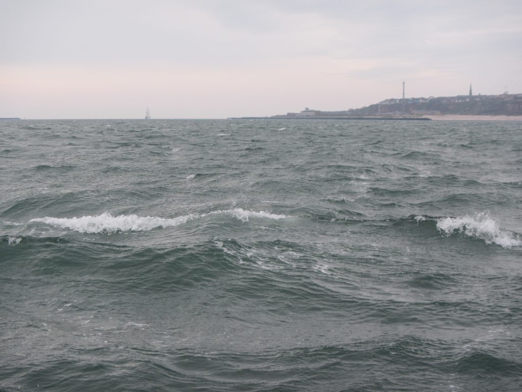
It turns out it’s super difficult to take pictures of waves that look as impressive as the waves are in reality. I really need to learn how to do that! But even if you don’t see the size of the waves, at least you get a different look at “lange Anna” below.

IMG_4762

And these are white caps on the “open” sea, not waves breaking on a shore.

IMG_4776

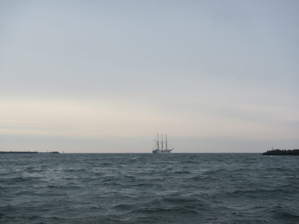
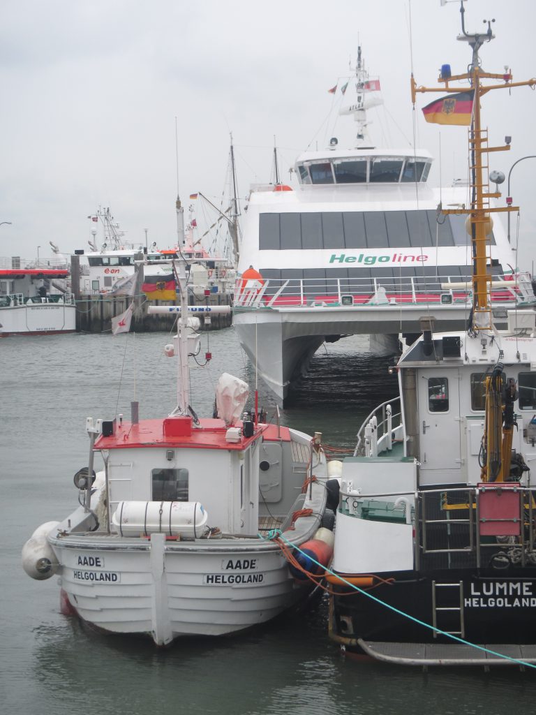
And for a nice comparison: The Aade (the research vessel I was on) and the catamaran that took me home later that night.

IMG_4797

Anyway, it was a great trip!
Can you make “boring” math or physics exciting by relating it to the adventures of a research cruise in Antarctic? Elin can!

My friend Elin is currently on a research cruise in Antarctica and you really need to check out her blog. She is writing about life at sea, including the most beautiful photos of sea ice. Today’s post is called “ice or no ice” and describes the first couple of days of the research cruise. Elin combines the catching narrative with exercises and experiments that will be conducted by at least 30 schools all over Norway! And maybe you can use some of her posts, exercises and experiments in your teaching, too?

Today, for example, the exercises are all about ice. Depending on how much brain power you want to invest and how much prior knowledge your students have, you could for example do an exercise about Archimedes’ principle, calculating how much of an ice floe is visible above the water’s surface, and how many scientists you could put on it before people start getting wet feet. Or, more challenging, you could work with real data that Elin provides to practice your statistics and look at the annual cycle of sea ice in Antarctica. Or you could even set up differential equations for how ice thickness increases over time.

There will be new exercises every Monday for the next two months. How exciting!

Elin’s blog, “På tokt i Antarktis“, is available in English, Norwegian and Swedish. So you can use it not only to practice your maths and physics, but also your language skills! :-)

Btw, if you got hooked and can’t nearly get enough of reading about that research cruise, there is a second blog that tells you, for example, about the different kind of New Year’s Eve the scientists and crew had before heading off to Antarctica. Also very much worth a read!

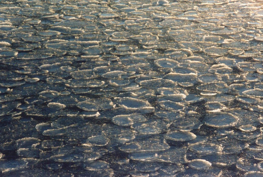
LA03_Pfannkucheneis_klein

Pinging, so we don’t hit the ground

I’ve been thinking about an old friends recently. I met Anton on a RV Knorr-cruise I was on in 2011, and we spent many fun night watches running CTDs. Together with Sindre, this was our favorite toy: The echo sounder. Many CTD packages have an altimeter on them so they don’t accidentally hit the bottom, and if the package is deep enough, funny pictures develop.

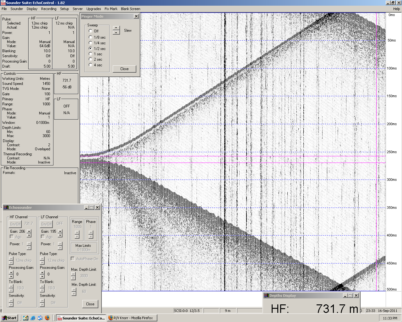
In the picture below, for example, you see the CTD at its deepest at the very left of the screen. The x-axis is time – as new time steps are added on the right, old ones eventually vanish to the left. The y-axis is time in milli seconds, which is more or less proportional to the distance of the pinger to the receiver on board the ship.

untitled9

So on the left you see those two lines very close together – the top line being the CTD that is sending the chirps, the bottom line is the sea floor. As the CTD comes up again, its own signal rises to the top of the screen (because it’s coming closer to the receiver and hence the run times get shorter) and the sea floor sinks away (because the signal now has to travel down further and further before it is reflected up again).

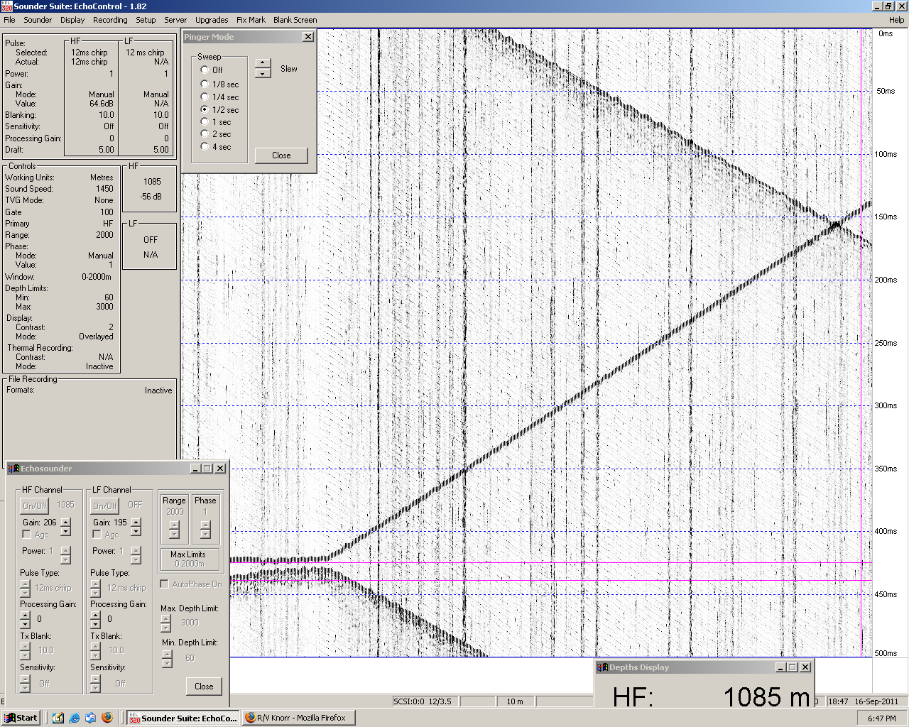
Then what you see at the right of the plot are more parallel lines emerging. And those occur because the run length of the sound signal is longer than the time between two chirps, so the receiver registers both the actual reflection from the bottom as well as the reflection from a previous chirp.untitled

This is fine when the CTD is going up, but when it’s going down you have to pay close attention because you might have to cross what looks like a reflection from the sea floor a couple of times before you come close the actual sea floor. Unnerving if you aren’t as nerdy as Sindre and me and enjoy playing with this equipment!

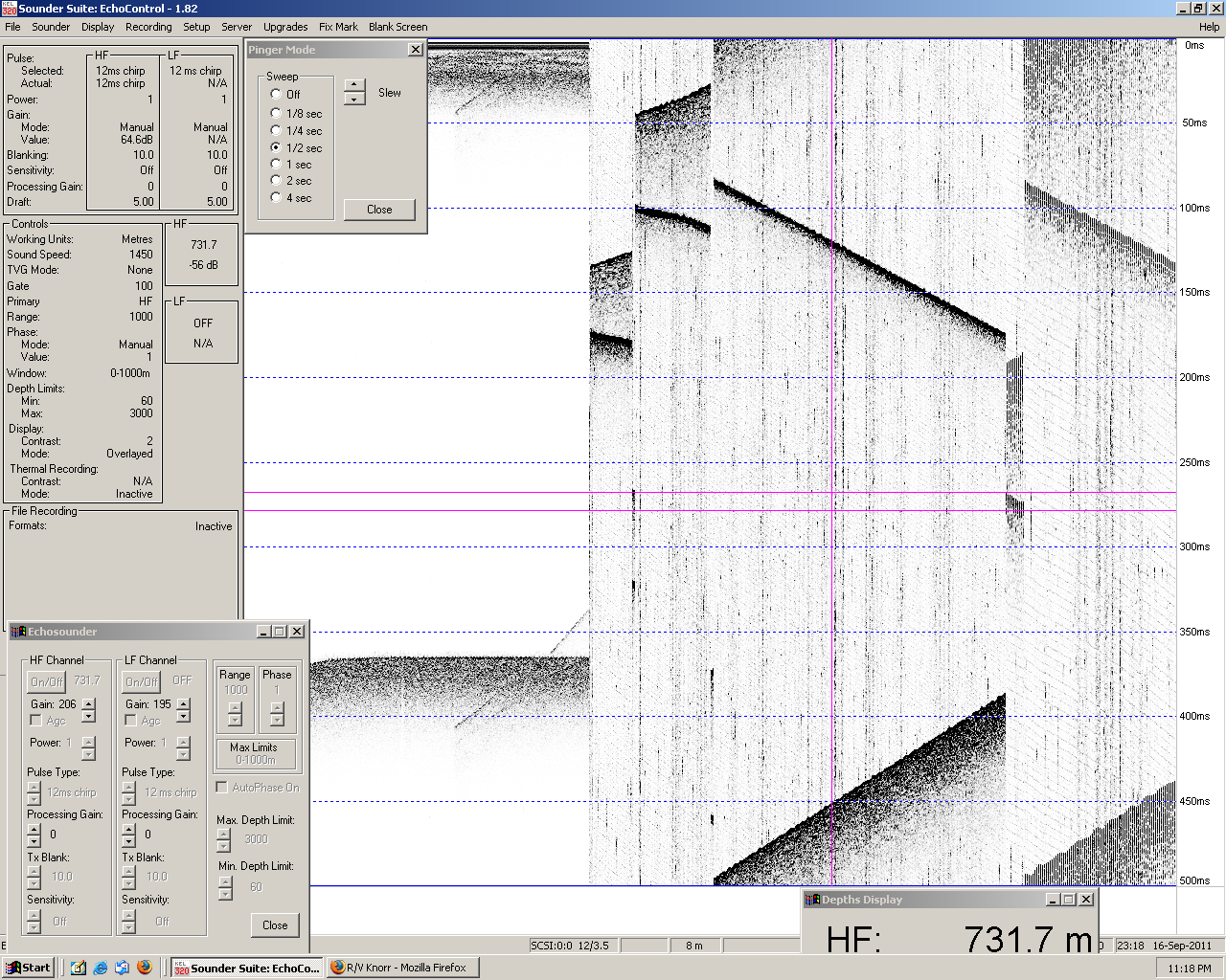
In the plot below you can see more funny features: The left half of the screen shows the ship’s echo sounder (so the sea surface and sea floor staying in more or less the same place over time), and on the right we played with different scalings and zoomed in. Obviously, the smaller the units on the scale, the larger the magnification.untitled5So yeah. It was fun. And thanks for all the good times, Anton.

299941_1940515909256_5991249_n